
Market Analysis
How Billions of Agricultural Data Points Power Next-Gen In-Season Yield Forecasting
One season. Sixteen billion data points. Weekly in-season yield forecasts that actually matter.
How massive-scale sensing is redefining in-season yield forecasting.
For decades, agricultural yield estimates lagged reality. Government reports like the USDA’s World Agricultural Supply and Demand Estimates (WASDE) appeared infrequently, often with wide uncertainty bands and limited predictive value. Field surveys offered patchy coverage, and raw satellite imagery, while rich, demanded heavy processing before it could support decisions.
Today, the landscape is shifting.
When global satellite observations, high-resolution weather intelligence, and scalable crop simulations converge, they produce something agriculture has never truly had before: billions of structured observations generated inside a single growing season, refined into timely, accurate in-season yield forecasting. This new level of visibility allows analysts, growers, and markets to see production risk as it forms instead of weeks after the fact.
This post breaks down how that system works and why scale is central to its power.
The Scope: Three Countries, Two Crops, Thousands of Regions
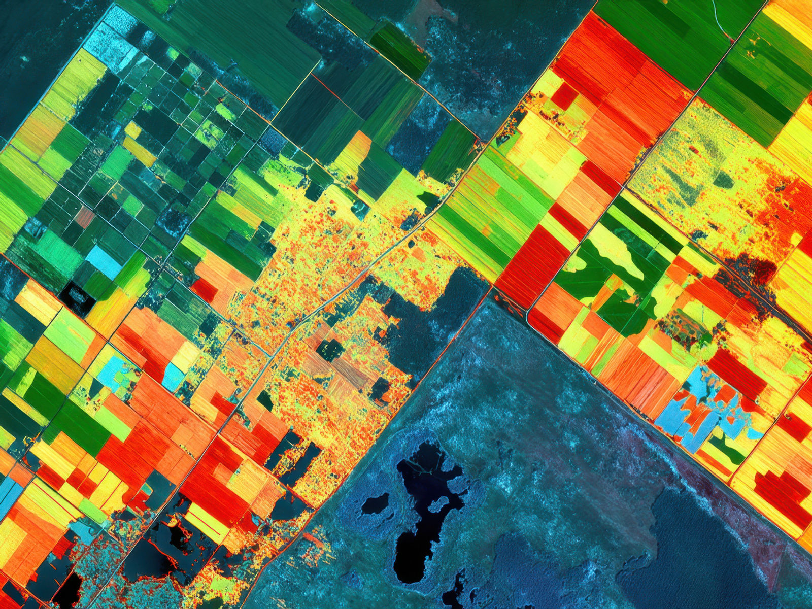
Running an integrated forecasting system across multiple agricultural countries means adapting to different climates, farming practices, planting calendars, and soil environments. Add two major crop types, each with its own biological response to heat, moisture, and radiation, and the complexity intensifies.
Across more than 3,000 counties or districts, the system must absorb local weather variations, soil composition, and historical yield patterns. Traditional methods might produce a few observations per region across the entire season. Modern sensing replaces that with continuous monitoring that captures real-time deviations from expected development.
This evolution is similar to shifting from a handful of static snapshots to a full-season film reel: trends become clearer, anomalies stand out earlier, and regional divergence becomes quantifiable rather than anecdotal.
The Raw Feed: 180 Days of Satellite and Weather Data
A single growing season typically spans around 180 days, each one contributing essential environmental inputs. Satellite sensors provide vegetation indices, such as Normalized Difference Vegetation Index (NDVI) and Enhanced Vegetation Index (EVI), which measure changes in chlorophyll content and canopy density. Weather data contributes temperature patterns, precipitation, soil moisture, and solar radiation, all of which shape crop stress, biomass formation, and yield potential.

These inputs gather momentum quickly. Thousands of regions multiplied by daily observations across half a year generate tens of millions of datapoints early in the season. The system continuously contextualizes them against climatology and historic trends to assess whether crops are accelerating, slowing, or deviating from normal development pathways.
Scaling Through Simulation: 1,000 Growth Paths Per Location
The exponential increase arises through simulation. Rather than assuming a single deterministic path, the system generates roughly 1,000 potential growth trajectories for each crop in each location. These simulations explore how a crop might evolve under different plausible sequences of heat, rainfall, cloud cover, and moisture conditions.
Agriculture is inherently uncertain, subject to abrupt heat waves, poorly timed rainfall, or extended dry spells. Simulating thousands of futures acknowledges this uncertainty rather than glossing over it. As new satellite and weather inputs arrive, each simulation updates and narrows its distribution of possible outcomes.
Multiplying these evolving scenario paths across crops, countries, and regions pushes the total observation count into the billions, an essential foundation for highly responsive in-season yield forecasting.
Turning Raw Signals into Weekly In-Season Yield Forecasts

Scale only becomes meaningful when it results in actionable insight. This is where the modeling engine operationalizes the full system.
The platform transforms raw satellite observations, environmental inputs, and simulation data into weekly yield estimates, using a structured approach that highlights the drivers of change:
Satellite vegetation data is mapped to crop growth stage and biomass formation, allowing the system to determine how development compares with historical patterns.
Weather inputs are fused with crop stress functions that measure how heat spikes, moisture deficits, or rainfall events influence yield formation.
Simulations refresh weekly as new data arrives, tightening or widening uncertainty bands based on real-time conditions.
Regional aggregation identifies hotspots; areas drifting materially above or below trend, long before official reports surface.
The outcome is not a backward-looking final number but a live, adaptive signal that updates as the season unfolds and sharpens in accuracy each week. This level of responsiveness is what turns billions of datapoints into meaningful in-season yield forecasting.
Why In-Season Yield Forecasting Matters for Hedge Funds
For hedge funds and commodity analysts, agriculture has long been a challenging domain. USDA reports move markets but arrive infrequently. Field sampling lacks coverage. Weather models vary in accuracy. And traditional satellite data requires extensive cleaning before it becomes useful.
Sixteen billion structured data points per season transform the landscape.
For analysts, timing becomes the advantage. Production risk becomes visible weeks before conventional indicators reveal it. Shifts in canopy growth, vegetative slowdowns, or heat-induced stress appear early enough to shape decisions rather than merely explain them after the fact.
For quantitative teams and data scientists, structure is the advantage. Clean, harmonized, time-aligned signals eliminate the need for preprocessing. Explicit uncertainty bands improve model calibration. Data can flow directly into factor models, machine learning pipelines, or supply-demand forecasting frameworks, dramatically reducing operational drag.
The net effect is a forward-looking view of yield that compounds into a measurable information edge.
Why This Scale Unlocks a Different Kind of Insight
Billions of data points are not a flex; they are a necessity. Precision agriculture now demands visibility at high spatial and temporal resolution, and that means collecting data at unprecedented scale.
With this volume of information, the system can:
Diagnose stress sooner, detecting early-season issues before they propagate into large yield losses.
Quantify risk rather than guess, enabling analysts to understand not just central forecasts but probability distributions.
Spot anomalies fast enough to act, whether they arise from isolated drought pockets or rapid heat accumulation.
Provide lenders, insurers, and planners with transparency that allows for more accurate risk assessment and capital allocation.
Give growers real-time clarity, improving operational decisions and strengthening resilience to volatile weather patterns.
In this model, the future of yield intelligence becomes dynamic, global, and early. With billions of signals arriving each season, agricultural risk—and opportunity—can finally be understood before it reshapes supply chains or financial markets.
The next move in ag markets belongs to those who see change first.
SatYield’s real-time yield intelligence transforms uncertainty into opportunity with earlier signals, cleaner data, and a forward view you can trust.
more from the blog
