Market Analysis
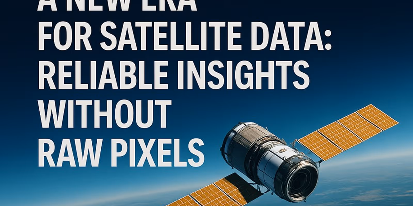
Sentinel-1D - A New Era for Radar Agriculture Data
What Is Sentinel-1D?
For decades, Earth Observation (EO) satellites have been capturing extraordinary amounts of imagery, tracking how our planet changes day by day. But in agriculture, the challenge has never been data scarcity. In fact, it’s been the opposite: too many pixels and not enough perspective.
Ask any analyst or trader, and they’ll tell you the obstacle isn’t access to data. It’s trust. They’re drowning in images but starving for reliable, repeatable signals that truly reflect what’s happening on the ground. Too often, EO outputs add complexity and noise instead of clarity.
That’s why the launch of Sentinel-1D, the newest radar satellite in the European Space Agency (ESA) and Copernicus Program, is such a milestone. It’s not just another eye in the sky. It’s a shift toward decision-ready intelligence that delivers value far beyond imagery.
From Imagery to Insight

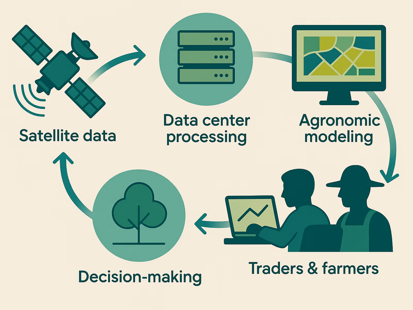
We’ve entered a new era where satellite data isn’t sold as pictures but as signals-as-a-service. Instead of downloading gigabytes of cloudy optical images, agricultural stakeholders receive clean, timely insights: crop-health alerts, irrigation recommendations, yield forecasts, and regional risk warnings—all derived from near-real-time radar data.
Why Radar Data Matters in Agriculture
Unlike optical satellites that rely on clear skies, Synthetic Aperture Radar (SAR) satellites such as Sentinel-1D use microwave pulses to penetrate clouds and provide consistent ground data, day or night, rain or shine. For agriculture, this capability means continuous visibility into soil moisture, field variability, and crop growth patterns.
These radar insights are foundational for optimizing irrigation, improving yield forecasts, and managing climate risks. They enable early warnings of droughts or flooding before they escalate into production shocks, giving farmers, analysts, and commodity traders a critical edge.
At SatYield, we fuse imagery and radar signals with agronomic models and machine learning, transforming raw satellite inputs into actionable yield intelligence. Our radar-powered analytics empower more confident, data-driven decisions, from field operations to financial markets.
Supply Chain Transparency Comes into Focus
Beyond the farm, radar-based intelligence has implications across the entire agri-food value chain. Supply chain transparency has long been an elusive goal, hampered by fragmented data and delayed verification. With the consistent, high-frequency imaging enabled by Sentinel-1D, it’s now possible to verify sourcing claims, track climate risks, and validate production forecasts across regions and seasons.
Imagine being able to confirm where crops are planted, monitor their progress, and measure whether yield expectations align with ground truth, all without leaving the desk. Food companies can audit sustainability commitments. Investors can monitor risk exposure in real time. Regulators can observe shifts in production as they unfold.
This isn’t simply operational efficiency. It’s a structural evolution toward transparent, traceable, and trustworthy agricultural supply chains.
How to Gain Stability in a Volatile World
Agriculture has always lived on the edge of volatility. Weather extremes, geopolitical shocks, and economic disruptions continuously test the stability of global supply and pricing. In this environment, clarity becomes currency.
The real value of Earth Observation lies not in its beauty but in its predictive power. Reliable, frequent, and cost-effective radar agriculture data enables traders and analysts to track crop conditions, assess yield potential, and spot emerging risks early. With Sentinel-1D expanding ESA’s radar constellation, revisit times shorten and data continuity strengthens, allowing markets to transition from reactive to predictive.
This is how volatility becomes visible, and how visibility becomes opportunity.
Beyond Pixels: The Future of Decision-Ready Intelligence
The Sentinel-1D launch underscores a powerful truth: modern enterprises don’t need more raw data. They need clarity. The challenge isn’t collection; it’s interpretation.
As satellite technology and platforms like SatYield evolve, we’re witnessing the emergence of something transformative: a shift from asking “What’s happening?” to “What should we do next?” This transition turns satellite data into a decision engine, bridging the gap between agronomics and economics. It enables everyone—from growers to hedge funds—to see the same underlying signals and act with greater confidence.
In this new model, satellites aren’t just watching Earth. They’re helping us navigate it.
What Does the Future Hold?
When Sentinel-1D lifted off on November 4, 2025, it did more than join its Copernicus counterparts in orbit. It signaled a new phase in how we observe and interpret our planet’s most vital systems. By turning continuous, cloud-penetrating radar streams into real-world agricultural intelligence, it’s helping to transform uncertainty into foresight and information into strategy.
At SatYield, we’re ready for that shift. The future of agriculture and trading won’t belong to those who have the most data, but to those who can interpret it best; those who can turn raw pixels into reliable signals that predict yield trends before markets move.
See how SatYield’s radar-powered signals predict yield trends before markets move. Book an interactive demo today.
And don’t forget to explore our Crop Signals Live Reports to experience satellite-powered intelligence for agriculture and trading in real time.
more from the blog
