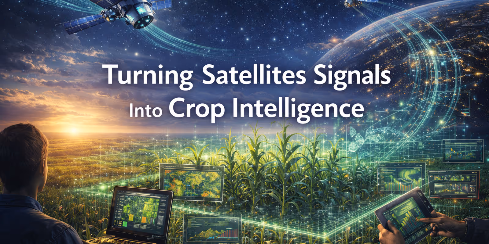
Market Analysis
Weather Alone Is Not Enough: How Satellites and Crop Models Are Reshaping Yield Forecasting
This article is based on the scientific framework and modeling approach led by Yuval Sadeh, PhD, Chief Scientist at SatYield.
Part 2 of 2 — From the Market Problem to the Scientific Solution
In our previous post, we argued that small improvements in yield accuracy rarely change trader decisions. Markets react to changes in supply risk, not to marginally better end-of-season point estimates. A model that cannot explain what just shifted in today’s weather run, or how that shift alters production, will struggle to influence positioning, even if it is statistically more accurate in hindsight.
This post explains the other half of the equation: how coupling satellites with process-based crop models enables earlier, more reliable understanding of production risk, particularly in the abnormal seasons where traditional approaches fail most.
From Weather Correlations to Crop Reality
If you have ever grown a plant at home, you know the basics: water matters, temperature matters, and sunlight matters. That intuition shaped early yield-forecasting methods, which relied mainly on weather data and historical relationships between rainfall, temperature, and reported yields.
For a long time, this approach worked reasonably well. Weather is widely measured, available quickly, and clearly linked to crop growth. But crops are not houseplants, and farming is not a controlled experiment. In real fields, yield is shaped by interacting factors such as:
Soil variability
Planting dates and cultivar choice
Irrigation and fertilizer decisions
Pests and disease pressure
The timing of stress relative to sensitive stages like flowering and grain filling
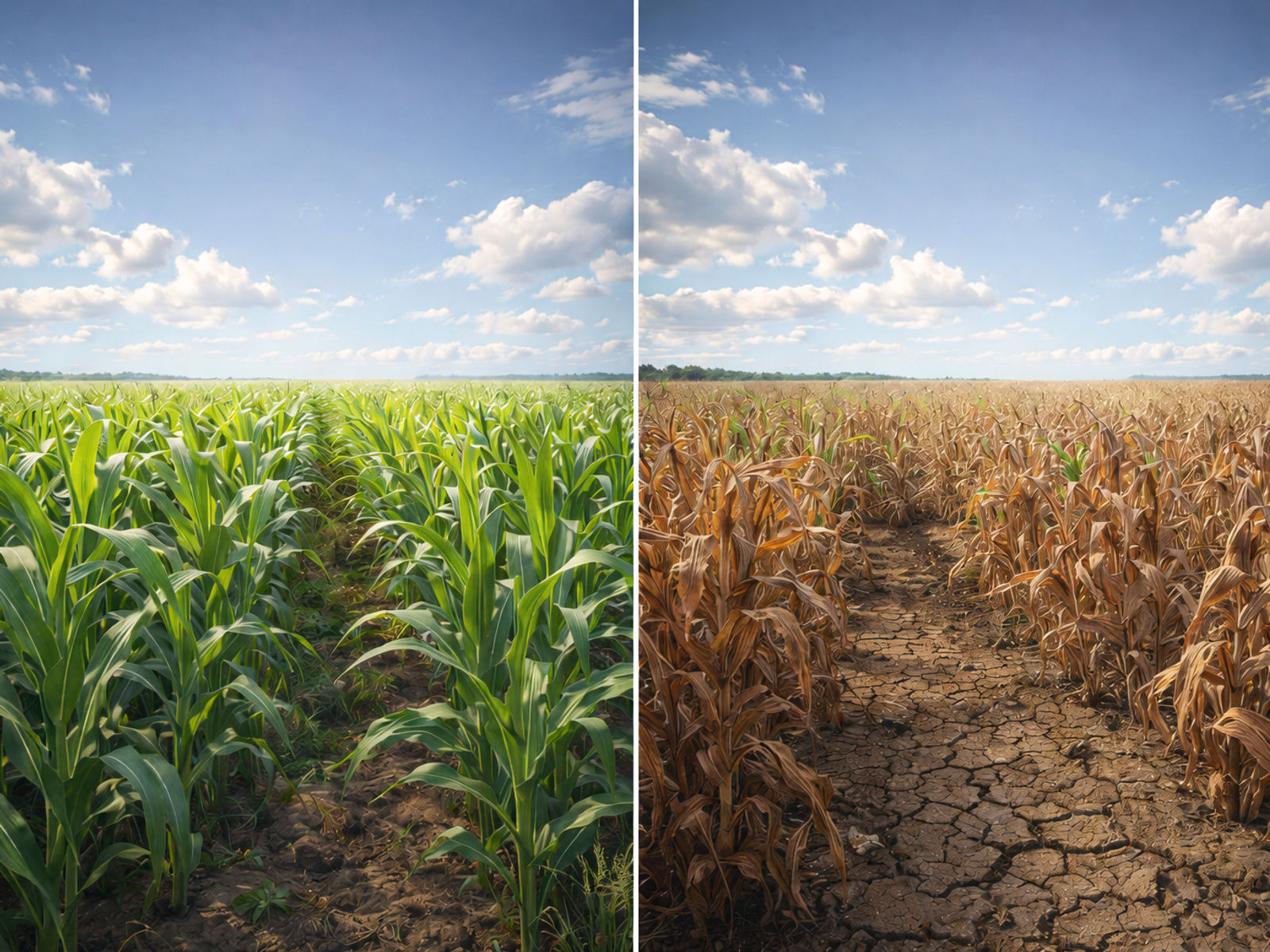
Two seasons can share similar “average” temperature and rainfall and still produce very different yields if heat arrives during flowering, if rain falls in a few intense events separated by long dry periods, or if a late frost hits at a critical stage.
This is where correlation-based models structurally fail. They compress complex processes into averages, assuming that the future will resemble the past. When the sequence of stresses changes, those relationships break.
Climate change amplifies the problem. As extremes become more frequent or shift in timing, the past is less reliable as a guide to the future. Forecasts based mainly on historical correlations struggle most in the unusual years when decision-makers need reliable information the most: seasons that produce very low yields (food-security risk) or unexpectedly high yields (market surprises).
What Satellites Add, and What They Cannot Do Alone
To reduce uncertainty, yield forecasting increasingly uses Earth-observing satellites. Satellites repeatedly monitor the land surface with sensors that measure reflected or emitted energy across different wavelengths. Depending on the system, they can revisit every few days or even daily, capturing detail at scales that allow field-level monitoring across large regions.
These observations provide near real-time information on:
Crop condition and development
Spatial patterns of stress
Deviations from normal seasonal trajectories
But satellites also have limits. They mainly observe the crop canopy surface and cannot directly measure internal plant processes, root-zone conditions, or many soil and nutrient dynamics. Optical satellites can be hindered by cloud cover. As a result, purely statistical use of satellite imagery can still struggle under rare combinations of conditions that are poorly represented in the historical record.
Satellites tell us what the crop looks like today. They do not, on their own, explain why it looks that way or what that implies for yield formation tomorrow.
Why Coupling Matters for Traders
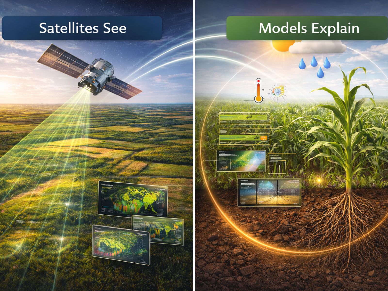
Process-based crop models bridge this gap. These models simulate plant growth using biophysical rules, representing development stages and responses to stresses such as heat and water limitation. Yet crop models can be uncertain at large scales because they require management and soil inputs that are often unknown, and they were not designed to operate as near real-time monitoring systems.
Coupling satellites and crop models changes the problem from static estimation to dynamic diagnosis.
This matters for markets because it enables:
Earlier detection of abnormal seasons before end-point yields diverge
Explanation, not just correlation—why crops are deviating, not only that they are
A shift from debating October yield numbers to monitoring in-season production risk
Instead of asking, “What is final yield likely to be?” the coupled system can address the questions traders actually face, such as:
How has this week’s weather altered crop development relative to expectations?
Which regions are moving off normal trajectories?
How much supply risk just entered or exited the balance sheet?
In practice, satellite observations keep simulations anchored in reality, while the crop model interprets what those observed changes imply for growth processes and yield formation.
Digital Twin Crop Modeling as a Decision Layer
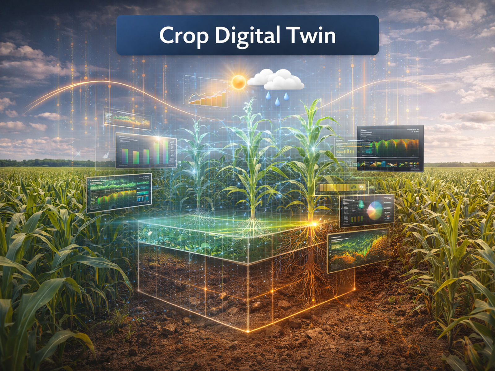
At SatYield, the goal is to operationalize this coupling at scale. Earth observation provides frequent, spatially detailed monitoring that can be updated throughout the season, while crop models translate those observations into a mechanistic understanding of crop status and likely outcomes.
Together, they support a form of crop “digital twin”:
A dynamic representation of the crop that updates as new observations arrive
A system that diagnoses why growth is tracking a certain way
A framework to estimate yield potential under the remaining season’s conditions
For traders, the value is not a prettier forecast. It is a model that can translate today’s weather delta into today’s production delta, weeks before static approaches would register a change.
This approach is especially valuable in regions where field measurements and long, consistent yield statistics are sparse, delayed, or difficult to collect.
Limits and Practical Reality
Process-based models do not always capture pests, diseases, and some nutrient constraints well, and satellite signals can be uncertain in situations such as sparse canopies, rapid senescence, or persistent cloud cover. Forward-looking forecasts also depend on the quality of weather forecasts or on using realistic weather scenarios for the remainder of the season.
Even with these challenges, combining satellites and crop models reduces key uncertainties and improves resilience to unusual seasons, which are the very seasons where markets reprice hardest.
From Accuracy to Decision Advantage
The take-home message is simple: growth is a process, not just a correlation.
Weather matters, but so do timing, soil, and management.
Satellites show how crops are progressing across the landscape.
Crop models explain why they are progressing that way and what it means for yield.
By bringing them together, yield forecasting can move beyond weather-only assumptions toward physically grounded, spatially explicit intelligence that remains useful when conditions are changing and extremes are becoming more common.
From Accuracy to Action
Part 1 explained why yield accuracy alone rarely changes trader behavior. Part 2 shows how coupling satellites with crop models creates earlier, decision-relevant insight into production risk.
See how SatYield translates in-season signals into supply intelligence before consensus moves.Request a walkthrough of the digital twin platform today.
more from the blog
