top of page

The Impact of the EU Deforestation Regulation on the Agriculture Industry

rebecca24861

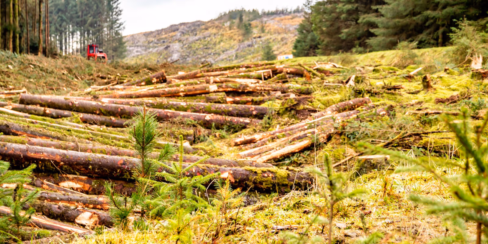
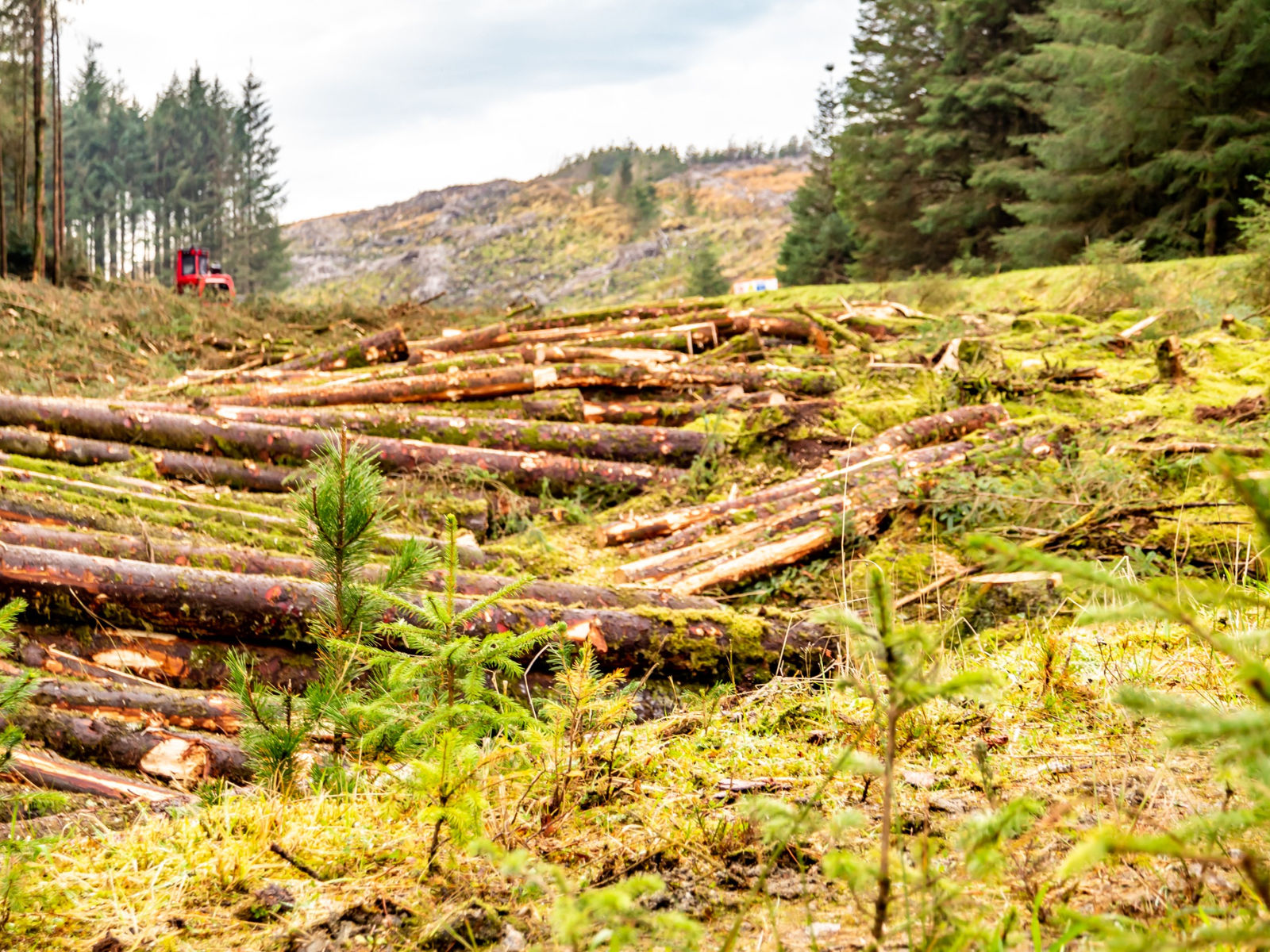
The European Union Deforestation Regulation (EUDR) represents a significant shift in the global agricultural supply chain, particularly for key commodities like soy and corn. In its effort to combat deforestation and environmental degradation, the EUDR mandates that all agricultural products linked to deforestation or forest degradation after December 31, 2020, must be banned from entering the EU market.


This legislation is part of a broader push toward sustainability, and while it poses challenges for producers, it also presents an opportunity to modernize and improve agricultural practices. The regulation’s core focus on traceability, through precise geolocation data, sets the stage for the future of agriculture.


Understanding the EUDR and Its Implications for Soy and Corn Farmers


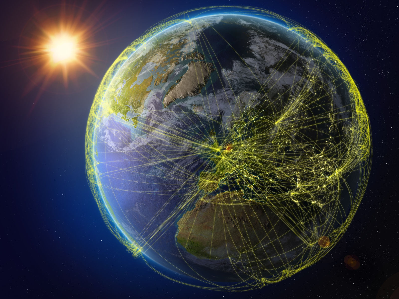
For agricultural producers, the EUDR demands strict adherence to traceability protocols. Commodities like soy and corn—among the most traded globally—are now under heightened scrutiny. The regulation requires that all commodities be tracked from the plot of land where they are grown to their final destination in the European market.


This means that farmers and supply chain operators must provide geographic coordinates for the land from which their products are harvested, ensuring that the land is free from deforestation and that production is legally compliant.


For farmers, this means that they will need to ensure that their plots of land can be accurately geolocated. For plots larger than 4 hectares, this involves detailed polygon mapping to outline the boundaries of the field, while smaller plots can be traced with a single coordinate.


This level of precision ensures that every batch of agricultural commodities entering the EU can be traced back to its exact origin—a critical step for verifying compliance with deforestation-free standards.


The Role of Remote Sensing in EUDR Compliance


As the EUDR emphasizes the need for precise geolocation data, remote sensing technology is poised to play a crucial role in helping farmers and businesses meet these requirements.

Through tools such as satellite imagery offers a cost-effective and efficient means of monitoring large agricultural areas for compliance with the regulation.


One key benefit of satellite imagery is its ability to access and verify whether land use changes, such as deforestation, have occurred on a particular plot of land. By analyzing historical satellite data, farmers and regulators can trace the land’s history, ensuring that no deforestation has occurred since the cut-off date of December 31, 2020.


Companies like SatYield are already making such data available via its AI-based satellite technology, primarily for the purpose of yield monitoring, mapping, and forecasting. As technology continues to advance and emerging needs arise, these platforms will be able to use satellite data to generate geolocation coordinates and provide insights into land use, offering a straightforward way for Agribusinesses to gather the necessary data for EUDR compliance.


As the regulatory environment becomes more complex, such tools will become indispensable for farmers aiming to navigate the new legal landscape.


The Data-Driven Future of Compliance in Agriculture


While compliance with the EUDR may initially seem daunting, it also offers a pathway to greater transparency and accountability within the agricultural supply chain. By leveraging geolocation data and remote sensing technology, farmers can not only meet regulatory requirements but also improve their operational efficiency. This data-driven approach allows for better resource management, early identification of potential environmental risks, and a more sustainable farming model in the long run.


For large-scale commodity producers like soy and corn farmers, the EUDR underscores the importance of robust data management systems. As each batch of produce must be traceable back to its source, maintaining accurate, up-to-date records is essential. Geolocation data, when coupled with modern data management platforms, can ensure that farmers stay ahead of compliance requirements while minimizing the risk of non-compliance.


Automated systems for data collection and verification, such as those integrated with satellite monitoring tools, will allow for real-time updates and immediate corrective measures when discrepancies are detected, companies like SatYield are working to bridge this gap, democratizing yield data and providing affordable solutions to farmers worldwide.


The complexity of the global supply chain, where soy and corn are often sourced from multiple regions and mixed in bulk shipments, creates another layer of difficulty. The EUDR requires that each batch of commodities be tracked and that the land from which the crops are sourced is not mixed with deforested or non-compliant land. This presents a logistical challenge for companies that trade bulk goods across borders. Yet, it also offers an opportunity for technology companies to develop solutions that can streamline the process of managing these complex supply chains.


While the industry is not yet fully prepared to address all the challenges posed by the EUDR, the progress made so far with technologies like SatYield offers a glimpse into the future—one where sustainable, traceable agriculture becomes the norm.


Farmers and agribusinesses who embrace these changes early on will not only stay ahead of regulatory demands but will also be in a strong position to lead the charge toward a more sustainable agricultural future. The shift to more transparent and traceable agricultural supply chains is underway, and those who adapt will thrive in this new era.


Want to stay in the know with cutting edge agriculture technology? Join our beta waitlist to receive exclusive access.

18 views0 comments

Recent Posts

See All

Kommentarer


©2024 by SatYield

  • X
  • Youtube
  • Linkedin
bottom of page