Market Analysis
Advancements in Satellite Technology and Remote Sensing for Agriculture
Space is no longer the limit, it's the starting point.
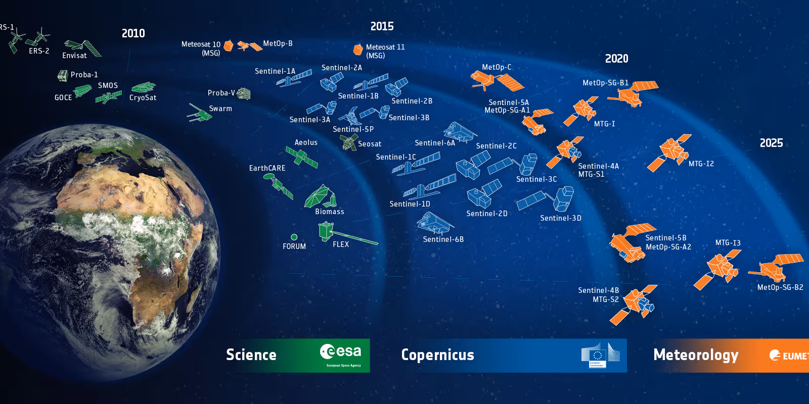
IMAGE CREDIT: ESA LICENCE CC BY-SA 3.0 IGO
The evolution of satellite technology has revolutionized various industries, with agriculture being one of the most significant beneficiaries. The ability to monitor and manage agricultural activities from space has opened up new possibilities for farmers and researchers alike.
One of the dramatic advancements that happened over the last decade was the increased competition among commercial entities which led to a decrease in the cost of commercial satellite imagery, making access to these resources more available. This accessibility is further strengthened by the launch of new earth observing satellites by esteemed space agencies like NASA and ESA, which have made their satellite imagery archives freely available to the public. The combination of cheaper satellite data and better resolution in terms of spatial, temporal, and spectral resolutions, ignited a surge of creativity, opening up numerous possibilities across various sectors.
The application of advanced satellite imagery in agriculture is exemplified by the work of our science team at SatYield, we developed a novel method to predict crop yields at a field scale without relying on ground data. By combining both remote sensing with crop models, we created a system that can estimate yields and monitor crop health from space near-real-time.
SatYield method involves identifying crop fields, crop type and vegetation index using Sentinel-1 and Sentinel-2 data, which is crucial for accurate crop simulations. We also pioneered a data fusion technique that merges the strengths of different sensors from the high spatial resolution (10 meters) and the high spectral quality. This fusion creates a new dataset that allows for observing the growth of specific crops at a 10-meter resolution.
The significance of this advancement cannot be overstated. With the ability to detect changes almost daily, stakeholders can make informed decisions about agricultural practices and financial decisions. Moreover, the yield prediction method developed by SatYield can forecast field-scale yields months before harvest, providing a competitive edge in the market.
SatYield technology demonstrates the potential of remote sensing in agriculture business. It shows how satellite technology can be leveraged to improve yield predictions, create detailed yield maps, and ultimately enhance the efficiency and sustainability of farming practices.
As we continue to witness the rapid advancement of satellite technology, it’s clear that the future of agriculture will be increasingly data driven. The integration of remote sensing capabilities with traditional farming methods is set to transform the agricultural landscape, offering solutions to some of the most pressing challenges faced by the industry today.
The advancements in satellite technology and remote sensing are not just technical achievements; they represent a paradigm shift in how we approach agriculture.
The possibilities for innovation and growth in this sector are boundless.
Space is no longer the limit, it's the starting point.
more from the blog
